PAView

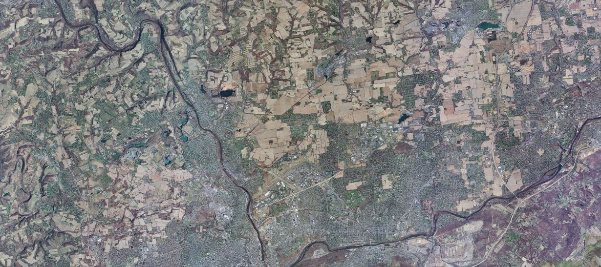
Three new PAView project summaries are available. The projects are from Bucknell University, Clarion University, and Villanova University. Bucknell University examines erosion in zero order streams. The Clarion University project is an assessment of a decade of expansion in two townships in Pennsylvania--Moon and Marshall. The Villanova project looks at tracking sources and sinks of marine debris in southwest Puerto Rico before and after Hurricane Fiona.
HREC Education, of the Holodomor Research and Education Consortium (HREC), a project of the Canadian Institute of Ukrainian Studies, University of Alberta, is pleased to announce that its national panel of three education adjudicators has selected the 2019 winner of the HREC Educator Prize for Holodomor Lesson Plan Development. This year, the judges have awarded one prize of $1,000 CAD to Dr. Thomas R. Mueller of the California University of Pennsylvania in California, PA. Dr. Tom Mueller has been a geography professor at California University of Pennsylvania since 1999. He is also an educational associate for Harvard University’s Ukrainian Research Institute’s MAPA (Digital Atlas of Ukraine) program. His interests include Geographic Information Systems (GIS, or computer mapping), geography education and world regional geography, with a goal to apply spatial theory to the “real world” using GIS in particular. In his classes, it is essential that service learning be a part of his geography courses. Thus, students in his courses have completed real world projects for local police departments, local planning offices, and others. He has taught GIS workshops for members of the local community, professors at Cal U and other campuses and the K–12 community.>
QL2 LiDAR products were collected at a nominal pulse spacing (NPS) of 0.7 meters. Project specifications are based on the U.S. Geological Survey National Geospatial Program Base LiDAR Specification, Version 1.2. The data were developed based on a horizontal projection/datum of NAD 1983 (2011), UTM Zone 18, meters and vertical datum of NAVD 1988 (GEOID 12B), meters. LiDAR data were delivered as processed Classified LAS 1.4 files formatted to 7,975 individual 1,500-meter x 1,500-meter tiles, as tiled intensity imagery, and as tiled bare earth DEMs; all tiled to the same 1,500-meter x 1,500-meter schema. Continuous breaklines were produced in Esri file geodatabase format.
This orthoimagery data set includes 0.5-foot (15-centimeter) 8-bit 4-band (RGBN) digital orthoimage tiles in GeoTIFF, Mr. SID, and JPEG 2000(JP2) format. The entire state was completed in 2021. The eastern half of the state will be made available throughout 2022 into 2023. The central part of the state will be available in 2023. The project will end with the completion of western PA in 2023. This data is 0.5-foot Orthoimagery collected at a ground sample distance (GSD) of 0.5-foot (15 centimeters). Project specifications are based on the U.S. Geological Survey National Geospatial Program Base Ortho Specification, Version 1.0. The data were developed based on a horizontal projection/datum of NAD83 (2011) State Plane Pennsylvania North FIPS 3701, US Survey Feet. .
PaView is an AmericaView partner.