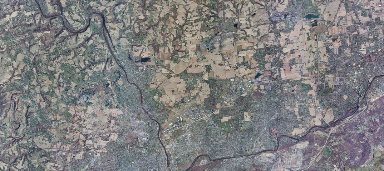
PAView

The purpose of the Pennsylvania Aerial Imagery Program is to produce a new statewide digital orthoimagery base map for the Commonwealth of Pennsylvania. Once the initial updated imagery is acquired for the entire state, it is anticipated that the entire state will be flown on a rotating 2- to 4-year cycle, with one-third of the counties included in each cycle. The imagery is 4-band (R,G,B,NIR) orthoimagery, accurate to 2.45 feet for a 1” = 100’ scale with a 15-cm (6-inch) ground pixel resolution. Resolution: 6-inch ground pixel resolution. Film Type(s): 4-Band (Red, Green, Blue and Near Infrared). Projection: Pennsylvania Coordinate System, North or South Zones, NAD83(2011), Epoch 2010.00; Vertical Datum: NAVD88, GEOID 12b. Accuracy: + 2.5 ft horizontally at 6 inch resolution. Extent of Coverage: Statewide on a 2- to 4-year update schedule. After the first year, the commonwealth was divided into three sectors: western, central, and eastern. The divisions are not equal in size, but rather, they follow the Regional Task Forces and their associated counties. All imagery will be made available via PASDA.
.The South Central Pennsylvania 2017 QL2 LiDAR project called for the planning, acquisition, processing, and derivative products of lidar data to be collected at a nominal pulse spacing (NPS) of 0.7 meters. Project specifications are based on the U.S. Geological Survey National Geospatial Program Base LiDAR Specification, Version 1.2. The data were developed based on a horizontal projection/datum of NAD 1983 (2011), UTM Zone 18, meters and vertical datum of NAVD 1988 (GEOID 12B), meters. LiDAR data were delivered as processed Classified LAS 1.4 files formatted to 7,975 individual 1,500-meter x 1,500-meter tiles, as tiled intensity imagery, and as tiled bare earth DEMs; all tiled to the same 1,500-meter x 1,500-meter schema. Continuous breaklines were produced in Esri file geodatabase format. Ground Conditions: LiDAR was collected in fall 2017, while no snow was on the ground and rivers were at or below normal levels. In order to post process the LiDAR data to meet task order specifications and meet ASPRS vertical accuracy guidelines, Quantum Spatial, Inc. utilized a total of 150 ground control points that were used to calibrate the LiDAR to known ground locations established throughout the project area. An additional 245 independent accuracy checkpoints, 142 in Bare Earth and Urban landcovers (142 NVA points), 103 in Tall Weeds categories (103 VVA points), were used to assess the vertical accuracy of the data. These checkpoints were not used to calibrate or post process the data. All data is available via PASDA
GIS raster datasets displaying Topographic Wetness Index (TWI) for Adams, Cumberland, Dauphin, Franklin, Lancaster, and York Counties, PA. The TWI rasters were derived from 2016 LiDAR for Dauphin County, 2015 LiDAR for Lancaster and York Counties, and 2006-08 LiDAR for Adams, Cumberland, and Franklin Counties. The TWI rasters were derived from 2015 LiDAR for Lancaster and York Counties and 2006-08 LiDAR for Adams and Franklin Counties. The TauDEM extension (D-Infinity tools) for ArcMap was used to create flow direction, slope, and contributing area rasters. TWI was then calculated using the following equation: Ln (Contributing Area/Slope). The methodology was described by Cody Fink in his 2013 thesis entitled Dynamic Soil Property Change in Response to Natural Gas Development in Pennsylvania. TWI results in a dimensionless raster and should be displayed using a red (low values representing no flow) to blue (high, representing high probability flowpaths) color gradient. TWI results vary depending on raster size and analysis options so value thresholds for probability-based overland flowpaths for water should be field verified. This data is available via PASDA.
High-resolution land cover dataset for the Commonwealth of Pennsylvania. Twelve land cover classes were mapped:0 - Background1 - Water2 - Emergent Wetlands3 - Tree Canopy4 - Scrub/Shrub5 - Low Vegetation6 - Barren7 - Structures8 - Other Impervious Surfaces9 - Roads10 - Tree Canopy over Structures11 - Tree Canopy over Other Impervious Surfaces12 - Tree Canopy over RoadsThe complete class definitions and standards can be viewed at the link below.http://goo.gl/THacggThe primary sources used to derive this land-cover layer were 2006-2008 leaf-off LiDAR data, 2005-2008 leaf-off orthoimagery, and 2013 leaf-on orthoimagery. Ancillary data sources such as LiDAR-derived breaklines for roads and hydrology were used to augment the land-cover mapping. This land-cover dataset is considered current based on data of acquisition for the leaf-on orthoimagery. Land-cover class assignment was accomplished using a rule-based expert system embedded within an object-based framework. Object-based image analysis techniques (OBIA) work by grouping pixels into meaningful objects based on their spectral and spatial properties, while taking into account boundaries imposed by existing vector datasets. Within the OBIA environment a rule-based expert system was designed to effectively mimic the process of manual image analysis by incorporating the elements of image interpretation (color/tone, texture, pattern, location, size, and shape) into the classification process. A series of morphological procedures were employed to insure that the end product is both accurate and cartographically pleasing. Following the automated OBIA mapping a detailed manual review of the dataset was carried out at a scale of 1:3000 and all observable errors were corrected.This dataset was developed to support land-cover mapping and modeling initiatives in Commonwealth of Pennsylvannia. At the time of its publication, it represented the most accurate and detailed land cover map for the state. This data is available via PASDA
.PaView is an AmericaView partner.